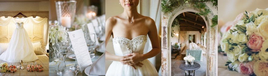
FROM SAN FRANCISCO
TO THE SANTA CRUZ MOUNTAINS
A Scenic Journey to Thomas Fogarty Winery
Wedding Reception Shuttle • Saturday, September 12, 2026
Depart Saints Peter and Paul Church 2:30 PM • Arrive Thomas Fogarty Winery 4:00 PM
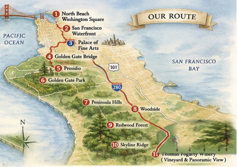
Painterly route map created especially for this tour. Landmarks are shown schematically rather than to navigational scale.
“The ceremony may be behind us. But the celebration most certainly is not.”
NORTH BEACH & WASHINGTON SQUARE
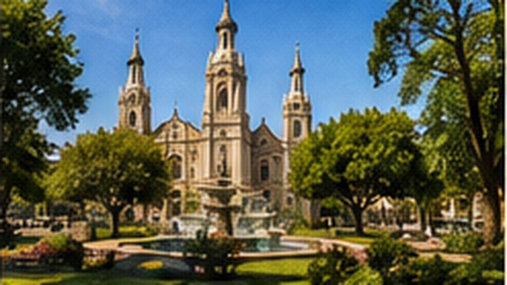
Original painterly illustration created for this guide.
Welcome aboard — and welcome to San Francisco.
As we leave Saints Peter and Paul Church, we are in the heart of North Beach, one of San Francisco’s oldest and most distinctive neighborhoods.
The open space beside the church is Washington Square, established in the 1840s and for generations the neighborhood gathering place of San Francisco’s Italian-American community.
North Beach became known as San Francisco’s Little Italy as Italian immigrants — many of them from the fishing villages of Liguria and northern Italy — settled here in the late nineteenth and early twentieth centuries. Italian restaurants, bakeries and cafés still line the neighborhood’s streets.
The church behind us, Saints Peter and Paul, has been a North Beach landmark for more than a century. Its twin towers are visible from across the neighborhood, and the church has long been closely associated with San Francisco’s Italian-American community.
Look around as we make our way toward the waterfront. This is quintessential San Francisco: steep hills, narrow streets, colorful buildings and, every so often, a completely unexpected view of the Bay.
THE SAN FRANCISCO WATERFRONT
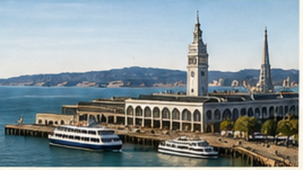
Original painterly illustration created for this guide.
We are now approaching the northern edge of the city and San Francisco Bay.
For much of San Francisco’s history, this waterfront was a working landscape — docks, warehouses, rail yards and military installations connecting the city with the rest of the Pacific world.
As we travel west along the waterfront, look out across the Bay. Depending on visibility and your position in the shuttle, you may catch sight of Alcatraz Island offshore.
Ahead of us is the Marina District, much of which was transformed for the Panama-Pacific International Exposition of 1915, a spectacular world’s fair celebrating both the completion of the Panama Canal and San Francisco’s recovery from the devastating earthquake and fire of 1906.
The exposition covered more than 600 acres along the city’s northern waterfront. It was filled with monumental exhibition halls, gardens, fountains and towers — an entire temporary city created for the fair. Almost all of it disappeared. But we’re about to pass one magnificent survivor.
THE PALACE OF FINE ARTS
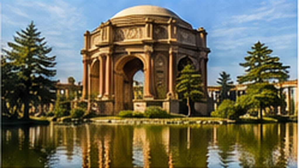
Original painterly illustration created for this guide.
Coming into view is the Palace of Fine Arts.
With its monumental rotunda, sweeping colonnades and lagoon, it can look as though a fragment of ancient Rome somehow landed in San Francisco. But the Palace isn’t ancient at all.
It was created for the 1915 Panama-Pacific International Exposition and designed by California architect Bernard Maybeck.
The exposition included elaborate palaces devoted to agriculture, transportation, manufacturing, education and the arts. Like most world’s fairs of the period, almost all of those buildings were intended to be temporary.
The Palace of Fine Arts was different. Maybeck designed it not simply as an exhibition hall but as a romantic ruin — a place intended to evoke beauty, melancholy and the passage of time.
San Franciscans loved it so much that they refused to let it disappear with the rest of the fair. The structure we see today was substantially reconstructed in permanent materials during the twentieth century, but Maybeck’s extraordinary vision survives: the great classical rotunda reflected in the lagoon, surrounded by trees and landscaped grounds.
It remains one of San Francisco’s most unusual landmarks — a building created to look like the beautiful remnant of a civilization that never actually existed.
And from this imaginary ruin of the past, we are about to see one of the great engineering achievements of the twentieth century.
THE GOLDEN GATE BRIDGE — THE BRIDGE THAT COULDN’T BE BUILT
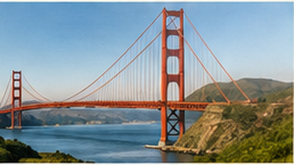
Original painterly illustration created for this guide.
As we continue toward the Presidio, the Golden Gate Bridge should come increasingly into view.
Today it is difficult to imagine San Francisco without it. But for decades, many people believed that a bridge across the Golden Gate simply couldn’t be built. And they had some very good reasons.
The Golden Gate is the narrow opening through which San Francisco Bay meets the Pacific Ocean. The strait is roughly a mile wide, with powerful tidal currents. Add deep water, strong winds, dense fog and corrosive salt air — and then place the San Andreas Fault only about seven miles offshore.
At the beginning of the twentieth century, spanning it seemed beyond the practical limits of bridge engineering. One engineer who became the project’s great champion disagreed. His name was Joseph Strauss.
Strauss argued that the Golden Gate could indeed be bridged. His first design looked nothing like the bridge we know today: a massive combination of cantilever and suspension bridge. Over the following years, the concept evolved into the elegant suspension bridge before us today, with crucial engineering work by Charles Alton Ellis and Leon Moisseiff and architectural contributions by Irving Morrow.
And all of this engineering was done without computers. Calculations for what would become the world’s longest suspension span were performed with pencils, paper, mathematical tables and slide rules.
Then came another problem: money. The bridge was ready to move forward just as America entered the Great Depression. Voters in six Northern California counties approved a $35 million bond issue, effectively betting on the future of the bridge in the middle of one of the worst economic crises in American history.
Construction finally began in January 1933. The engineering challenges were extraordinary. The south tower had to be constructed more than a thousand feet offshore in the turbulent waters of the Golden Gate. Above it, ironworkers assembled towers that rise 746 feet above the water.
Between those towers, workers spun the enormous main cables wire by wire. Each main cable contains more than 27,000 individual steel wires.
Chief Engineer Strauss was also unusually concerned with keeping his workers alive. A large safety net was suspended beneath the bridge deck. Men whose falls were stopped by that net jokingly called themselves members of the “Halfway to Hell Club.”
When the bridge opened in May 1937, its 4,200-foot center span was the longest suspension-bridge span in the world, and its towers were the tallest bridge towers ever constructed. The impossible bridge had been built.
Its famous color is called International Orange. Consulting architect Irving Morrow championed it because it complemented the surrounding landscape while making the bridge visible against ocean, sky and San Francisco’s famous fog.
Despite the name, the bridge is not named for its color. The Golden Gate is the strait beneath it — the entrance from the Pacific Ocean into San Francisco Bay. The bridge stretches 1.7 miles from end to end.
And if the bridge happens to be partly disappearing into fog today, don’t feel cheated. That is, arguably, the most authentic San Francisco view of all.
THE PRESIDIO
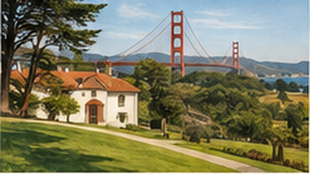
Original painterly illustration created for this guide.
We are now passing through the Presidio of San Francisco.
It may feel like an unusually beautiful city park, but this landscape has an extraordinary history.
For thousands of years, the lands around the Golden Gate were home to the Yelamu, a local tribe of the Ramaytush Ohlone peoples.
Spain established a military post here in 1776. After Mexican independence, it became a Mexican military outpost, and in 1846 the United States Army took control.
The Presidio remained an active U.S. Army post until 1994 — more than two centuries of military history layered onto the same landscape. Today it forms part of the Golden Gate National Recreation Area and is a National Historic Landmark District.
As we leave the Presidio and cross San Francisco toward the south, we’re about to encounter another landscape that seems completely natural. It isn’t. In fact, what we’re approaching is another of San Francisco’s great acts of imagination.
GOLDEN GATE PARK — A PARK BUILT FROM SAND
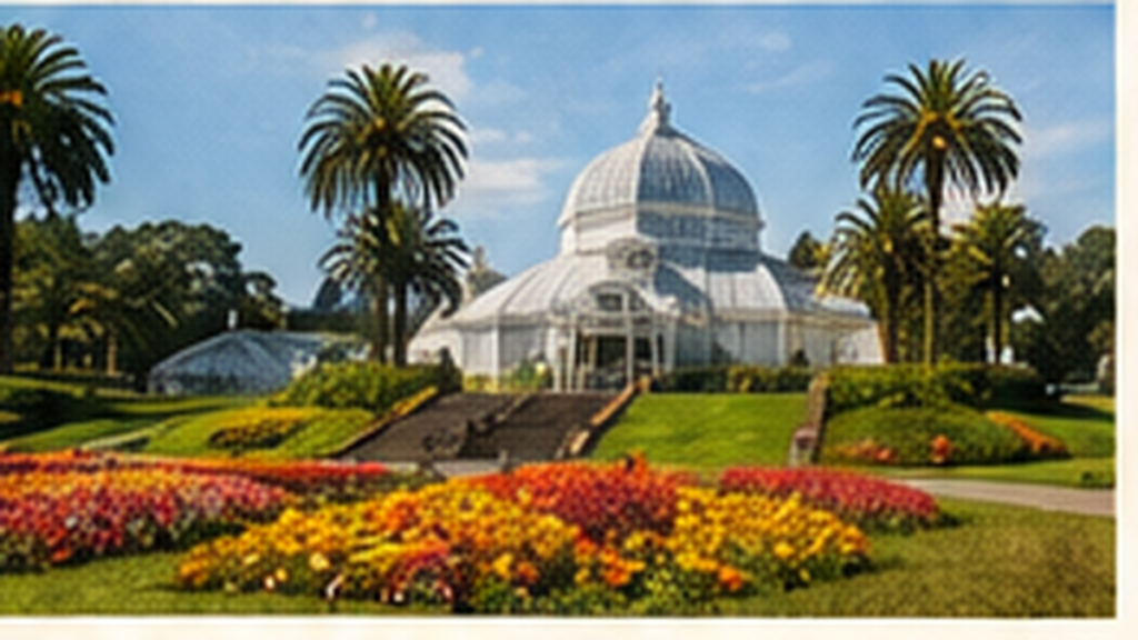
Original painterly illustration created for this guide.
This enormous green landscape is Golden Gate Park. And there’s something rather extraordinary about it.
Much of what you see here was once windswept sand dunes.
When Golden Gate Park was created in 1870, this western part of San Francisco was largely a bleak expanse of shifting sand extending toward the Pacific Ocean. The idea that anyone could turn it into a great city park seemed almost absurd.
Landscape engineer William Hammond Hall, the park’s first superintendent, began figuring out how to stabilize the dunes and create soil where virtually none existed. Beginning in the 1880s, horticulturist John McLaren devoted much of his life to transforming the landscape.
Trees and hardy plants were used as windbreaks. Sand was stabilized. Soil was developed. Roads, lakes, meadows and gardens gradually appeared. Over decades, San Franciscans effectively created a forest and parkland where nature had provided sand dunes.
Today Golden Gate Park covers roughly 1,017 acres — more than three miles from east to west and roughly half a mile wide. It is larger than New York’s Central Park.
Among its landmarks is the Conservatory of Flowers, opened in 1879, a beautiful Victorian glasshouse containing rare and tropical plants.
Farther into the park is the California Academy of Sciences, combining an aquarium, planetarium, natural-history museum and scientific research institution beneath one remarkable living roof.
Directly across the Music Concourse stands the de Young Museum, devoted primarily to American art, international textiles and art from Africa, Oceania and the Americas.
And tucked beside them is one of the park’s most enchanting places: the Japanese Tea Garden. It began as part of the California Midwinter International Exposition of 1894 and evolved into a permanent garden of Japanese maples, pines, azaleas, ponds, bridges, stone lanterns and traditional architectural elements.
Golden Gate Park also contains the San Francisco Botanical Garden, with 55 acres and thousands of kinds of plants from around the world. There are lakes, meadows, sports fields, windmills, miles of walking and cycling paths — and, perhaps most unexpectedly, a herd of American bison.
What makes all of this especially remarkable is worth remembering as we leave it behind: almost none of this landscape existed here naturally.
In its own way, Golden Gate Park and the Golden Gate Bridge tell rather similar San Francisco stories. One transformed an apparently unbridgeable strait. The other transformed seemingly useless sand dunes. Both began with ideas that many people considered unrealistic. And both became inseparable from the city itself.
THE PENINSULA HILLS
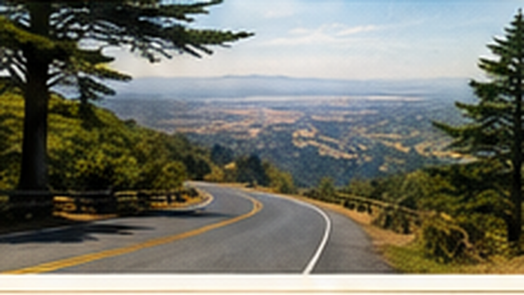
Original painterly illustration created for this guide.
As we continue south, we’re beginning a much larger geographical transition.
We are leaving the dense city behind and heading down the San Francisco Peninsula, the narrow strip of land separating San Francisco Bay from the Pacific Ocean.
The landscape begins to open. Urban San Francisco gives way to rolling hills, wooded ridges and the protected lands surrounding the Crystal Springs watershed.
This is one of the delightful surprises of the Bay Area. Although millions of people live only a short distance away, much of the spine of the Peninsula remains remarkably green and undeveloped.
As we travel south on Interstate 280, the reservoirs and protected watershed lands beside us form part of the system that supplies water to San Francisco and communities throughout the Peninsula.
The ridge rising to the west is part of the Santa Cruz Mountains. That’s where we’re going. Our destination is not down in Silicon Valley. It’s high above it.
WOODSIDE
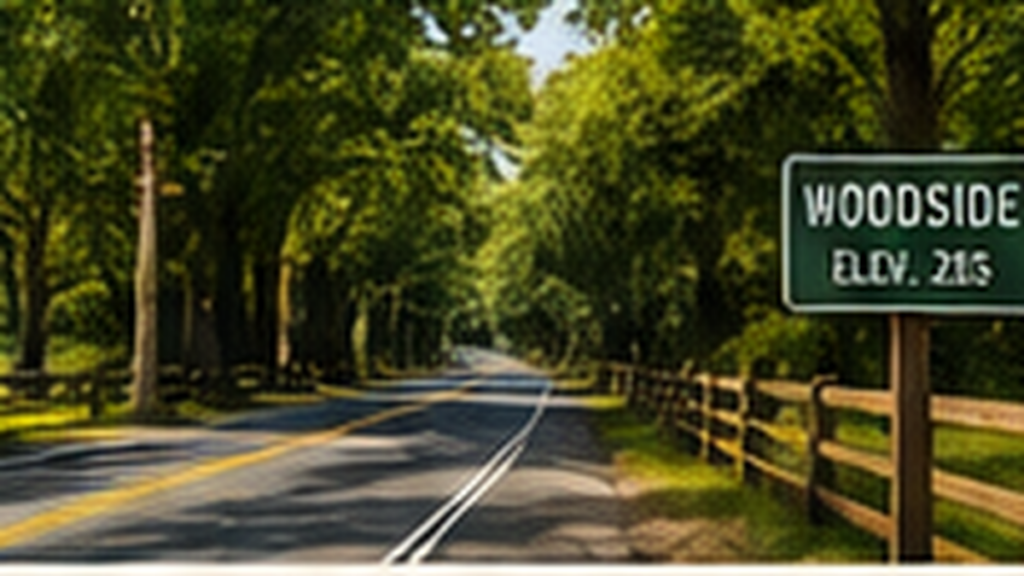
Original painterly illustration created for this guide.
We now leave the freeway and turn west toward Woodside.
The change can feel almost instantaneous. The Peninsula’s cities recede, the road narrows, and the landscape becomes increasingly rural and wooded.
And we’re crossing a particularly fascinating boundary.
Immediately to the south lie Palo Alto and Sand Hill Road — the heart of Silicon Valley and, for decades, one of the world’s most important centers of venture capital and technology investment.
Yet we’re heading in precisely the opposite direction. Within just a few minutes, the office campuses and suburban communities of the Peninsula give way to horses, wooded estates and narrow country roads.
Woodside itself grew from a nineteenth-century logging community. The surrounding forests supplied redwood lumber to the rapidly expanding settlement of San Francisco following the California Gold Rush.
Today it is one of the Peninsula’s most secluded communities, known for wooded estates, equestrian trails and a deliberate preservation of its rural character.
The contrast is remarkable. Behind and just south of us is one of the world’s great centers of technology, entrepreneurship and innovation. Ahead of us are the forests of the Santa Cruz Mountains.
And from here, we begin to climb.
INTO THE REDWOODS
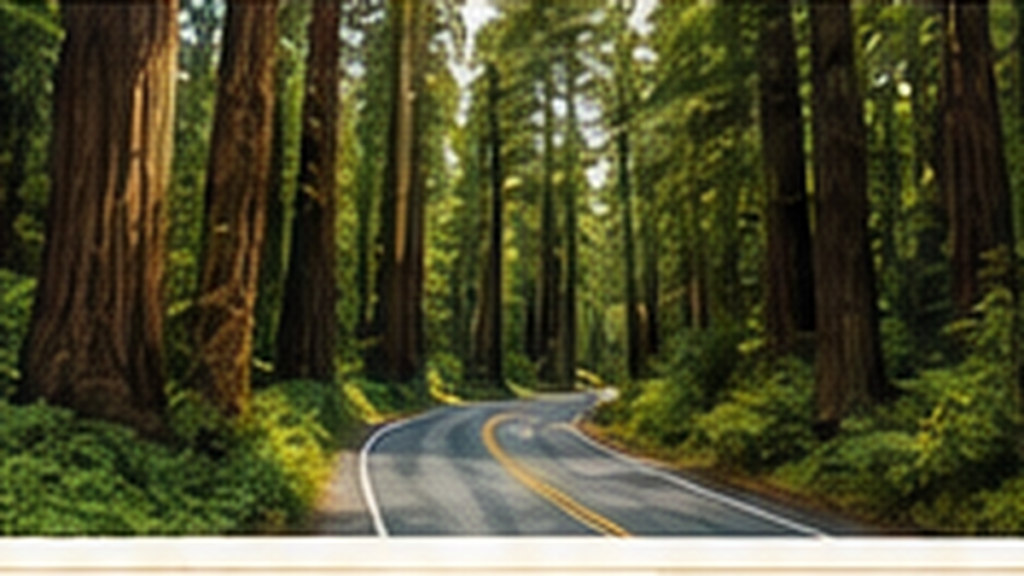
Original painterly illustration created for this guide.
As Highway 84 winds upward, we enter the forests of the Santa Cruz Mountains.
Watch how quickly the landscape changes. The bright, open Peninsula gives way to shade. The temperature often drops. The road begins to twist beneath a canopy of trees.
Among them are coast redwoods — Sequoia sempervirens — the tallest tree species on Earth.
Under ideal conditions, coast redwoods can grow well over 300 feet tall, and individual trees can live for more than a thousand years.
These forests once covered much larger areas of the Santa Cruz Mountains. Extensive logging during the nineteenth century removed most of the original old-growth trees, but redwoods have an extraordinary ability to regenerate.
New trunks can sprout directly from the roots and stumps of older trees, sometimes creating the circles of redwoods you may notice growing together in the forest.
The moisture here is important, too. Coast redwoods thrive in the narrow climatic belt along Northern California’s coast, where summer fog provides moisture during the long dry season.
So even San Francisco’s famous fog — occasionally inconvenient to humans — is part of what makes these forests possible.
This is one of the remarkable things about the Bay Area. Less than an hour ago we were surrounded by steep city streets, apartment buildings and the waterfront of one of America’s great cities. Now we’re driving through a redwood forest.
SKYLINE RIDGE
Original painterly illustration created for this guide.
We are approaching the crest of the Santa Cruz Mountains.
At the top, Highway 84 meets Skyline Boulevard — California Highway 35. We’ll turn south and follow the ridge.
Skyline is an appropriate name. The road roughly traces the mountainous spine separating San Francisco Bay to the east from the Pacific Ocean to the west.
We are now traveling at elevations approaching 2,000 feet.
On clear stretches, watch for openings through the trees. Far below and to the east and southeast lie Silicon Valley and the southern San Francisco Bay.
This juxtaposition is one of the defining characteristics of this region. Some of the world’s most densely concentrated technology, innovation and wealth lie immediately beside mountains, forests, vineyards and protected open space.
And somewhere along this ridge, our journey changes one final time. The forest begins to open. Vines appear. We have arrived in wine country.
THOMAS FOGARTY WINERY
Welcome to Thomas Fogarty Winery.
The estate sits high in the Santa Cruz Mountains overlooking Silicon Valley.
Its founder, Dr. Thomas Fogarty, was a cardiovascular surgeon and medical-device inventor, best known for developing the balloon catheter.
In 1976, he decided to preserve his approximately 350-acre mountain estate as open space while giving it an agricultural purpose. He initially considered kiwi fruit. Fellow Stanford physicians introduced him instead to Burgundy and to local Santa Cruz Mountains producers.
Fogarty and winemaker Michael Martella founded the winery in 1981. Today, almost thirty acres are under vine, while the broader estate remains preserved as heritage oak and fir forest.
The elevation, cool mountain climate and influence of the nearby Pacific help make the Santa Cruz Mountains particularly well suited to varieties such as Pinot Noir and Chardonnay.
And as we enter the property, look toward the east whenever the landscape opens. On a clear day, the view extends far across the Peninsula and Silicon Valley toward San Francisco Bay.
So, in the space of about an hour and a half, we’ve traveled from an Italian neighborhood in the heart of San Francisco… past the Bay and the Palace of Fine Arts… beneath the gaze of the Golden Gate Bridge… through a former military post… past a park created from sand dunes… along the hills of the Peninsula… through Woodside and the redwood forest… and finally onto the ridge of the Santa Cruz Mountains.
The ceremony may be behind us. But the celebration most certainly is not.
Welcome to Thomas Fogarty Winery.
It’s time for the wedding reception.
GUIDE NOTES & SOURCES
This narration is designed to be delivered in short location-triggered chapters with quiet intervals between them, so guests can enjoy the scenery. The painterly map and landmark illustrations in this document are original AI-created artwork produced specifically for this wedding shuttle guide; they are not reproductions of third-party photographs.
Key factual references used to verify the narration include the Golden Gate Bridge, Highway and Transportation District (bridge design and construction history); Gardens of Golden Gate Park (park history and institutions); and Thomas Fogarty Winery (estate and winery history).
Golden Gate Bridge — Design & Construction: https://www.goldengate.org/exhibits/the-history-of-the-design-and-construction-of-the-bridge/
Gardens of Golden Gate Park — History: https://gggp.org/about/
Thomas Fogarty Winery — Our Story: https://www.fogartywinery.com/pages/our-story